
City walk · Melbourne · Australia
1794–1881 · a real person
a precise, dry old colonial surveyor, proud of his right angles, vain about his street widths, and by the end quietly unsettled by what his lines covered over
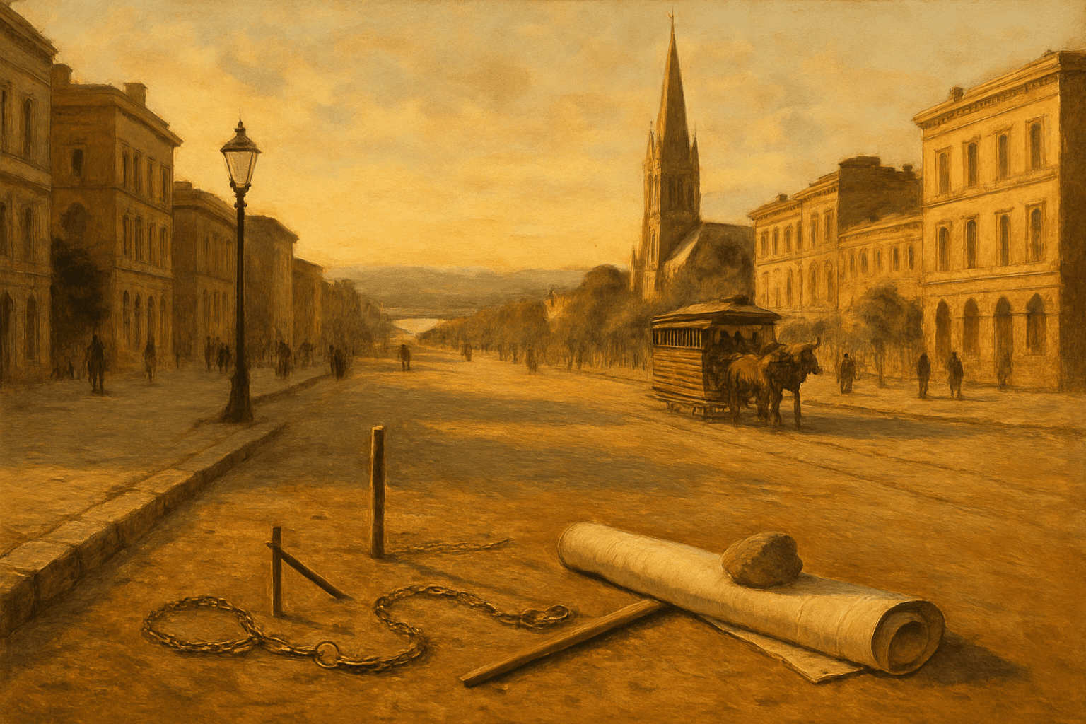
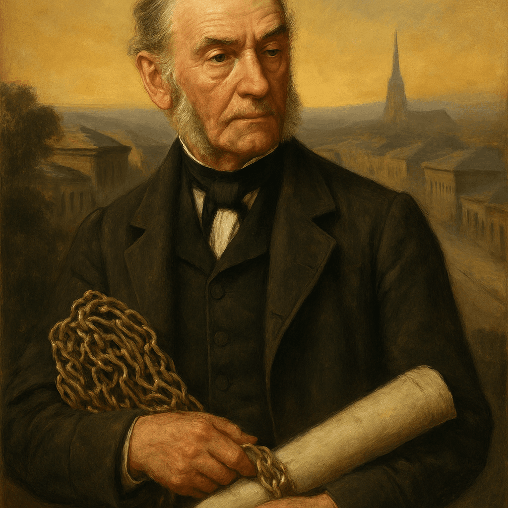
My name is Robert Hoddle, and in 1837 I was handed a riverbank with a few hundred souls on it and told to make a town of it. What I made was a grid — a mile long, half a mile wide, every main street ninety-nine feet across, every corner square to the next. You are standing inside it; you have never once stepped outside my lines today. Walk east and south with me and I will show you what grew in each block I measured — and, at the river, something I measured over without ever once looking down.
You’re walking this one before anyone at Walk & Tell has. If something looks wrong, tap Report at any stop — we’ll fix it for everyone after you.
In 1837 a surveyor with a chain and a theodolite scratched a grid of streets into a riverbank camp of a few hundred settlers, and five million people have been walking inside his lines ever since. This story walk follows Robert Hoddle east and south through the blocks he measured — the money end of Collins Street, the town hall his rate-payers built, the cathedral corner, the station steps, the river — and ends where his lines run out, on the old Government Paddock that became the MCG. There are no puzzles, only a man with strong opinions about street widths and a slowly dawning understanding of whose ground he drew on. It is a walk about ownership: who measured this place, who named it, and who was here for forty thousand years before the chain came out of the box.
8 stops · 2.8 km
about 50 min walking, 32 min listening at the stops — going inside is extra · Tap a stop on the map for a preview.
1 / 6
Best time to walk: Early morning or late afternoon. The Swanston and Collins Street corners bake at midday with no shade, St Paul's is open to visitors most days but services can close parts of the nave, and the river path to the MCG is loveliest an hour before sunset.
Start here
203 Elizabeth Street, Melbourne
Stand on the footpath at the corner of Swanston Street and Bourke Street, outside the shops, facing east down Bourke Street so the straight line of the street runs away from you.
DirectionsBest from stop 1 — the story is told in order. Tap Start here on any stop to begin there instead; the guide will catch you up.
Melbourne
“The Corner Where It Started”
The crossing of Swanston and Bourke, the heart of the city that grew from a few hundred settlers on a riverbank.
Hoddle Grid
“Ninety-Nine Feet Wide”
The 1837 street grid, 1.6 km by 0.8 km, set at an angle to every other street in Melbourne.
Collins Street, Melbourne
“The Street That Got Rich”
Melbourne's most desired address since 1837 — banks at the west end, the tree-lined 'Paris End' to the east.
Melbourne Town Hall
“The Rate-Payers' Palace”
The 1887 seat of the City of Melbourne on the Swanston and Collins corner, still the Lord Mayor's house.
St Paul's Cathedral, Melbourne
“Butterfield's Spires”
The Anglican cathedral of Melbourne, designed by William Butterfield, completed 1891, its spires added 1926–1932.
Flinders Street railway station
“Under the Clocks”
Melbourne's busiest station, the country's oldest railway site, with the row of clocks everyone meets beneath.
Birrarung Wilam
A riverside artwork on Birrarung Marr meaning 'river camp', marking Kulin presence on the banks of the Yarra.
Melbourne Cricket Ground
“The Government Paddock”
The MCG, founded on this site in 1853 and now Australia's largest stadium, standing on a Wurundjeri camping ground.
The walk passes these without stopping. Add one and the route bends to take it in — the guide has nothing to say about them, so you are on your own there.
Hoddle marked out the Melbourne grid in 1837 — Collins Street, Bourke Street, the 99-foot widths and the corner you start on are literally his handiwork, and he lived in the city he drew until his death in 1881.

1794–1881
Robert Hoddle (1794–1881) was an English-born surveyor who came to the Port Phillip District in 1837 and laid out the street grid that still forms Melbourne's central business district, extending Robert Russell's first 1836 survey. The grid he marked runs roughly 1.6 km by 0.8 km between Flinders, Spring, La Trobe and Spencer Streets, set at an angle to the rest of Melbourne's streets; its main streets are each 99 feet wide, which later allowed trams to be installed from 1885. Bourke Street was named for Sir Richard Bourke, Governor of New South Wales during the drafting of the grid, and Collins Street for Lieutenant-Governor David Collins. Hoddle went on to become Victoria's first Surveyor-General and died in Melbourne in 1881, when the city he had pegged out had already become one of the richest in the British Empire.
4.0 from 1 player
Theo
Sep 22, 2026
Great storiesClues were clearA clue was wrongGood route